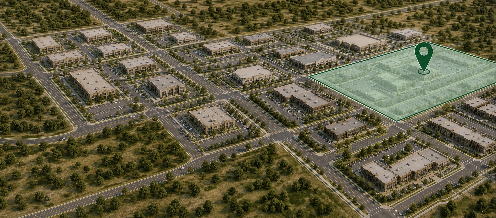
Environmental screening in seconds
August 14th, 2025

Finding out about environmental risks late in the game can sink a deal. Manually pulling FEMA flood maps and wetlands data is slow, clunky, and full of jargon. In early site selection, you need quick clarity so you can decide if a property is worth your time.
reSpots Environmental delivers an instant, address-level view of FEMA flood zones and NWI wetlands so you can move forward or walk away in minutes.
What it covers#
- FEMA flood zones by address – Identify hazard zones like AE, X, and VE to assess flood exposure early.
- NWI wetlands screening – Detect wetlands from the National Wetlands Inventory to flag potential permitting or development constraints.
- Nationwide coverage – Available wherever FEMA and NWI datasets are published.
Why it matters#
Developers#
Spot environmental constraints before investing in feasibility studies or design work.
Lenders and insurers#
Understand flood and wetlands exposure to inform underwriting and risk models.
Brokers#
Provide quick environmental context to buyers, tenants, or investors during site tours and shortlist reviews.
The old way vs reSpots#
Old way
- Hours searching multiple government portals
- Technical map tools with complex terminology
- Risk discovered late in due diligence
With reSpots
- Instant check by address
- Simple, clear visual overlays for both datasets
- Environmental risk awareness early in the process
How it works#
- Enter the address – Search any property in seconds.
- Review overlays – See FEMA flood zones and NWI wetlands together on one map.
- Plan your next step – Use the results to guide feasibility, underwriting, or client discussions.
Accuracy and sources#
We rely on authoritative data from:
- FEMA Flood Map Service Center for official flood zone information.
- USFWS National Wetlands Inventory for mapped wetlands data.
This screening is designed for early-stage decisions. It does not replace formal surveys, delineations, or regulatory determinations. Confirm findings with certified professionals and local agencies before making commitments.
FAQs#
What datasets power the screening?
FEMA flood maps and the USFWS National Wetlands Inventory.
Is this a replacement for surveys or delineations?
No. It is a preliminary check to identify potential risk areas.
What areas are covered?
Nationwide, wherever FEMA and NWI data are available.
How fast is the screening?
Most checks run from search to map display in under 60 seconds.
Do you include parcel boundaries or Base Flood Elevation?
No. The tool focuses on FEMA flood zones and NWI wetlands only.
Who is this for?
Developers, lenders, insurers, and brokers who need quick, reliable environmental checks during site selection or underwriting.
Related capabilities at reSpots#
Environmental screening is part of a broader toolkit. On the same platform, you can access:
- Crime data – Understand safety conditions in and around the property.
- Zoning information – See land use rules and development potential.
- Demographics – Align locations with target customer profiles.
- Trade area analysis – Measure market potential and competition.
Check out some of our solutions:
With all these layers together, reSpots helps you evaluate both the risks and the opportunities before making your move.